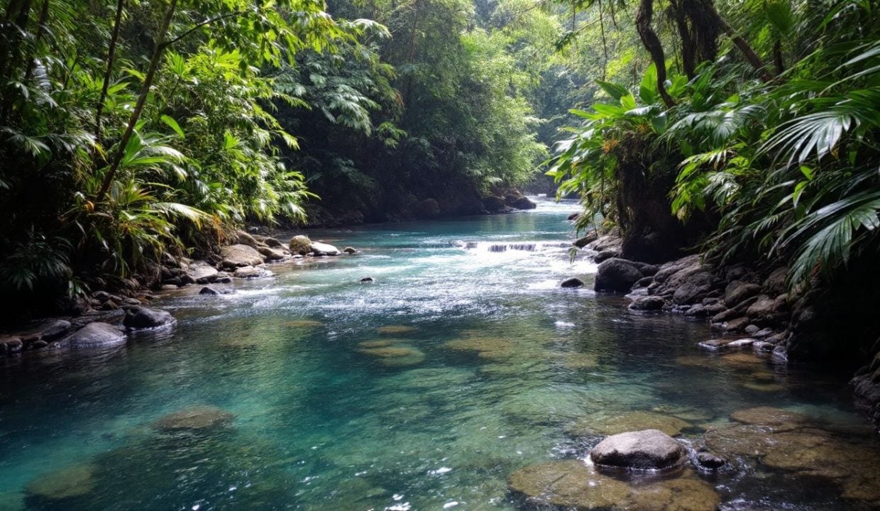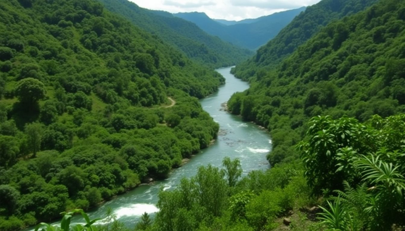
Rivers in Dominican Republic offer more than just water. They shape the land, support life, and tell stories of the past. Many people think these rivers are just for looks. But they’re wrong.
These waterways play a key role in the country’s nature and culture.
I’ve spent years studying the rivers of the Dominican Republic. My work has taken me from the Yaque del Norte to the Ozama River. I’ve seen how these rivers feed farms, power cities, and draw tourists.
Want to learn more about these amazing rivers? Keep reading. You’ll discover why they matter so much to this Caribbean nation.
Key Takeaways
- The Dominican Republic has several major rivers, including the Yaque del Norte (longest at 296 km), Yuna, Ozama, Higuamo, and Chavón.
- These rivers are vital for agriculture, hydropower, tourism, and supporting ecosystems. Popular activities include whitewater rafting, kayaking, fishing, and boat tours.
- Rivers shaped Dominican history, with early settlements and trade routes developing along waterways. Santo Domingo, founded in 1496, grew near three key rivers.
- Environmental threats like pollution and deforestation impact river health. Conservation efforts include cleanup projects, protected areas, and blue-green infrastructure to manage water sustainably.
- The Chavón River, ranked 3rd out of 23 local attractions on Tripadvisor, offers tours priced $55-$109 that showcase its natural beauty and colonial history.
Yaque del Norte River

The Yaque del Norte River stands as the longest river in the Dominican Republic. It flows through the Cibao Valley, starting in the Cordillera Central near Pico Duarte. This mighty waterway stretches for 296 kilometers before emptying into the Atlantic Ocean.
The river plays a key role in the country’s geography and economy.
Thrill-seekers flock to the Yaque del Norte for its exciting whitewater rafting opportunities. The river’s fast-moving waters and challenging rapids make it a top spot for adventure tourism.
Local guides offer trips ranging from calm floats to heart-pounding rides through Class III and IV rapids. The river’s beauty also draws nature lovers, who enjoy its lush surroundings and diverse wildlife.
Yuna River
The Yuna River flows through the heart of the Dominican Republic. It starts near Bonao in the Cordillera Central mountains and runs northeast for about 100 miles. As it travels, the river feeds the rich Cibao Valley, a key farming area.
The Camú River joins the Yuna, making it even stronger.
I’ve seen the Yuna’s power firsthand. Its waters shape the land like an artist’s brush, carving paths through lush forests and fertile plains. The river isn’t just pretty – it’s vital.
It gives life to crops, powers homes, and supports wildlife. Locals depend on the Yuna for food, work, and play. It’s like a lifeline, connecting people to nature and each other in this tropical paradise.
Ozama River
Moving from the Yuna River, we find another vital waterway in the Dominican Republic: the Ozama River. This important river starts in the Loma Siete Cabezas mountain, part of the Sierra de Yamasá range.
It flows through the heart of Santo Domingo, the capital city, before emptying into the Caribbean Sea.
The Ozama plays a key role in the Dominican economy and daily life. It serves as a major shipping route, allowing cargo vessels to reach the inland port of Santo Domingo. The river also provides water for farming and industry in the region.
Sadly, pollution has become a big problem for the Ozama. Local groups are working hard to clean up the river and protect its ecosystem. They aim to make the Ozama safe for wildlife and people once again.
Higuamo River
The Higuamo River flows through the eastern part of the Dominican Republic. It plays a key role in the area’s ecosystem and local life. The river starts in the hills and runs to the Caribbean Sea.
Along its banks, you’ll find lush plants and diverse wildlife. People living nearby use the river for fishing, transport, and daily needs. Sadly, the Higuamo faces threats from pollution and overuse.
Local groups work hard to protect this vital waterway. They aim to keep it clean for future generations.
Next, we’ll explore the Chavón River, another important waterway in the Dominican Republic.
Chavón River
The Chavón River flows through La Romana Province, offering a mix of natural beauty and history. Ranked third out of 23 local attractions on Tripadvisor, it has a 4.0-star rating from 339 reviews.
Visitors can explore this waterway through various tours, including ATV and buggy adventures priced from $55 to $109 per adult. These trips allow guests to experience the river’s charm while learning about its past as a transport route for precious woods and a hideout for pirates during colonial times.
Nature enthusiasts and history enthusiasts alike visit the Chavón River for its unique combination of wildlife and heritage. The river’s banks are home to diverse plants and animals, making it an excellent spot for observing Dominican Republic’s rich ecosystem.
Tours often include stops at key historical sites, allowing travelers to experience the river’s bustling past. Whether you’re interested in adventure, relaxation, or a deeper understanding of the area’s culture, the Chavón River offers a memorable experience in the Dominican Republic.
Supplementary Insights on Dominican Republic Rivers
The rivers of the Dominican Republic offer more than just scenic views. They play a key role in the country’s history, culture, and daily life. Want to know how? Read on to discover the hidden stories behind these flowing wonders.
Popular river activities
Dominican rivers offer a wealth of fun activities. Visitors and locals alike flock to these waterways for adventure and relaxation.
- Swimming: People love to cool off in the fresh river waters. Many spots have easy access and nearby food vendors.
- River rafting: Jarabacoa’s rapids draw thrill-seekers. Mini cascades add excitement to the journey.
- Kayaking: The Chavón River, famous from “Apocalypse Now,” is a top kayaking spot. Paddlers enjoy scenic views and calm waters.
- Boat tours: Lago Enriquillo offers unique boat trips. Visitors can spot American crocodiles in their natural habitat.
- Fishing: Rivers teem with various fish species. Anglers cast lines for both sport and sustenance.
- Picnicking: River banks serve as perfect spots for outdoor meals. Families gather to enjoy food and nature together.
- Bird watching: Riverside areas attract diverse bird species. Nature lovers bring binoculars to spot colorful feathered friends.
- Photography: The rivers’ beauty draws shutterbugs. Stunning landscapes and wildlife offer endless photo ops.
- Tubing: Gentle river sections are ideal for lazy floats. Tubers drift along, soaking up sun and scenery.
- Camping: Many enjoy overnight stays by the water. Riverside campsites let visitors fall asleep to the sound of flowing water.
Historical significance of major rivers
Rivers shaped the Dominican Republic’s past in big ways. They helped early settlers find good spots to live and trade. Santo Domingo, the first city in the Americas, grew near three key rivers: Haina, Isabela, and Ozama.
These waterways let ships come and go, making trade easier. The first fort in the Americas, built in 1496, also sat near these rivers. This shows how important they were for defense and growth.
Rivers also played a role in the island’s culture and history. They formed natural paths through the land, guiding people to new areas. Early societies built their homes and farms near these water sources.
The rivers’ paths often matched where important events happened or where towns popped up. Even today, many Dominican cities and towns trace their roots back to these life-giving waterways.
Environmental impact and preservation
The rivers of the Dominican Republic face growing threats from human activity. Pollution, deforestation, and climate change harm these vital waterways. Yet, efforts to protect them are gaining ground.
Local groups work to clean up trash and plant trees along riverbanks. The government has set up protected areas to safeguard key watersheds.
Blue-green infrastructure offers a promising solution for river health. This approach uses natural systems to manage water and boost biodiversity. In cities like Jarabacoa, it helps control flooding and improves water quality.
Researchers team up with community members to implement these projects. The results include cleaner air, better public health, and stronger ecosystems. As the country grows, sustainable planning will be key to preserving its rivers for future generations.
Conclusion
Dominican Republic’s rivers offer a wealth of beauty and adventure. From the mighty Yaque del Norte to the serene Chavón, each waterway tells a unique story. These rivers shape the land, support wildlife, and provide fun for locals and tourists alike.
Paddling, fishing, and sightseeing are just a few ways to enjoy these natural wonders. Protecting these vital resources ensures future generations can marvel at their splendor. So grab a paddle, cast a line, or simply sit back and soak in the magic of Dominican rivers.
FAQs
1. What are the major rivers in the Dominican Republic?
I’ve explored the Dominican Republic’s waterways, and let me tell you, they’re like nature’s veins pumping life through this tropical paradise. The Yaque del Sur River and Río Yuna stand out as the country’s aquatic superstars. These rivers aren’t just water bodies; they’re the lifeblood of the land, nourishing the lush landscapes and feeding the dreams of local communities.
2. How do rivers impact the climate zones in the Dominican Republic?
Picture this: I’m standing in the Cibao Valley, feeling the cool breeze from the nearby river. It’s like Mother Nature’s air conditioning! The rivers here are master sculptors, carving out diverse climate zones. From subtropical highland climates in Constanza to hot semi-arid climates in San Juan, these waterways are the unsung heroes shaping the country’s weather patterns. They’re nature’s mood rings, reflecting the ever-changing face of the island.
3. What role do rivers play during the rainy season and tropical storms?
Hold onto your hats, folks! When the rain season hits, these rivers transform from gentle streams to roaring beasts. I’ve seen the Yaque del Sur swell like a hungry giant during tropical storms. It’s both terrifying and awe-inspiring. These rivers are the island’s natural flood control system, but sometimes even they can’t handle Mother Nature’s tantrums. The Atlantic hurricane season keeps everyone on their toes, with rivers acting as nature’s early warning system.
4. How are the rivers affected by climate change and environmental policies?
Let me paint you a picture: I’m sitting by Lake Enriquillo, watching it shrink year after year. It’s like watching a slowly deflating balloon. Climate change is giving these rivers a run for their money. The Paris Agreement on Climate Change and the EU Green Deal are like lifelines for these waterways. The government’s juggling act between economic growth and environmental protection is trickier than walking a tightrope. These rivers are silent witnesses to the country’s struggle with sustainable development.
5. What unique flora and fauna can be found along Dominican Republic’s rivers?
Imagine walking along the banks of the Río Yuna. It’s like stepping into a living, breathing nature documentary! The rivers here are home to a cast of characters that would make any wildlife show jealous. From colorful birds that look like they’ve been painted by a mad artist to fish that seem to defy the laws of nature, these waterways are bustling ecosystems. Each river tells its own story, with the Sierra de Neiba and Sierra de Bahoruco acting as nature’s theater backdrop.
6. How do local communities use and protect the rivers?
I’ve sat with locals in Santiago de los Caballeros, listening to stories about their beloved rivers. These waterways aren’t just geographic features; they’re part of the community’s soul. From fishing to irrigation, the rivers are the unsung heroes of daily life. But it’s not all smooth sailing. The tug-of-war between using the rivers and protecting them is as old as time. Local initiatives for sustainable use of these water bodies are like seeds of hope, slowly growing into a forest of environmental consciousness.
References
- https://en.wikipedia.org/wiki/Yaque_del_Norte_River
- https://www.viator.com/Puerto-Plata-attractions/Yaque-del-North-River/overview/d795-a1562
- https://www.britannica.com/place/Yuna-River
- https://en.wikipedia.org/wiki/Ozama_River
- https://www.nytimes.com/2024/01/15/travel/dominican-republic-rivers.html (2024-01-15)
- https://en.wikipedia.org/wiki/Iguamo_River
- https://dr-local.fandom.com/wiki/Higuamo_River
- https://www.tripadvisor.com/Attraction_Review-g3458418-d2037534-Reviews-Rio_Chavon-La_Romana_Province_Dominican_Republic.html
- https://www.viator.com/La-Romana-attractions/Chavon-River/d4176-a22287
- https://www.godominicanrepublic.com/things-to-do/natural-attractions/rivers-and-lakes/
- https://ianas.org/wp-content/uploads/2020/08/uwc09.pdf
- https://www.researchgate.net/publication/336017821_Social-ecological_assessment_of_tropical_urban_rivers_and_restoration_opportunities_blue-green_infrastructure_for_Jarabacoa_Dominican_Republic
